At a glance: what is the Agriates desert?
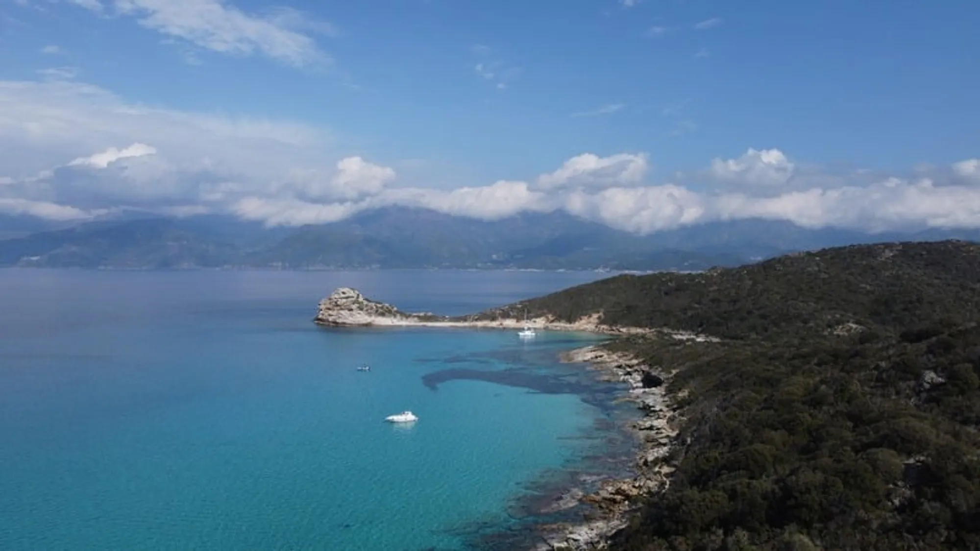
The Agriates desert stretches across 15,000 hectares at the northern tip of Corsica, wedged between the Gulf of Saint-Florent to the east and the Balagne region to the west. Classified as the Cap Corse and Agriate Marine Nature Park since July 2016 and protected by the Conservatoire du Littoral since 1989, it holds some of the most beautiful beaches in the western Mediterranean — Saleccia, Lotu and Ghignu — along with forty kilometres of almost untouched coastline.
Contrary to what its name suggests, the Agriate is no desert in the Saharan sense. It is a maquis desert: mineral, fragrant, silent, crossed by dry-stone footpaths where you can walk for hours without meeting a soul. Visitors come for the beaches and stay for a rare sensation in 21st-century Mediterranean — that of standing in a place which belongs to no one but itself.
This guide gathers everything worth knowing before you go: the etymology of the place, a detailed comparison of the three beaches, the marine and terrestrial wildlife protected by the Park, the three modes of access, the best season to visit, and the advice of a local crew based in Saint-Florent.
History & etymology: the Agriate before the ‘desert’
In origin, the Agriate is nothing like a desert. For more than five centuries it served as farmland, worked by inhabitants of the Cap Corse who descended seasonally on muleback for the harvests: wheat, barley, olives, vines, figs. The name itself comes from Corsican agriaghju, derived from Latin ager (cultivated field). Agriate, quite literally, means ‘the fields’ — a paradoxical place-name when set against today’s uninterrupted scrubland.
This granary of the Balagne fed a non-trivial share of the region, and families from Nonza, Canari, Farinole and Barbaggio shared the parcels according to a system inherited from the Genoese era. The paghjaghji — small circular dry-stone huts capped with branches, still visible on walks — served as shelters during the fieldwork. The lucky ones slept inside; the rest took refuge in the coastal caves.
Abandonment began in the mid-19th century with rural exodus and accelerated after the Second World War. Malaria in the lower parts of Corsica, American wheat competition, then the prohibitive cost of shipping the harvests by sea all discouraged the last cultivators. By the 1960s the Agriate had become a vast open range grazed by goats and semi-wild cattle.
In 1979, the Conservatoire du Littoral — a public agency created in 1975 to permanently protect France’s coastlines — acquired its first parcels on the site. Acquisitions would continue across three decades: today 5,270 hectares of coastline belong to the State through the Conservatoire, ensuring they cannot be built on. The 2016 Marine Nature Park designation completed the protection by extending it over the maritime domain.
Chronology
The Agriate through the centuries
-
Breadbasket of the Balagne
Inhabitants of the Cap Corse descend seasonally to tend cereals, vines and olive trees. The paghjaghji serve as shelters during harvests. The Republic of Genoa, which then administers Corsica, taxes output.
-
Nelson seizes the Tower of Mortella
British admiral Horatio Nelson captures the Genoese tower of Mortella at the entrance to the Gulf of Saint-Florent. Impressed by its resistance, the British Admiralty would copy the model along its own shores: the famous Martello towers of the British Empire take their name — a corruption — from the Corsican Mortella.
-
Beginning of agricultural decline
Rural exodus and malaria outbreaks gradually empty the cultivated land. Parcels are abandoned, and the maquis reclaims the landscape decade after decade.
-
Creation of the Conservatoire du Littoral
The French public agency, founded by Olivier Guichard, buys the most threatened coastlines to remove them permanently from development.
-
First acquisitions in the Agriates
The Conservatoire buys its first hectares on the site. Acquisitions continue until 2010, eventually reaching 5,270 hectares of protected shoreline.
-
Cap Corse and Agriate Marine Nature Park
By decree of 15 July 2016, the maritime zone becomes France's 9th marine nature park. The PNMCCA covers 6,830 km² and protects Posidonia oceanica seagrass meadows, bottlenose dolphins and loggerhead turtles in particular.
Today the maquis dominates: rockrose, myrtle, lentisk, rosemary, immortelle, strawberry tree, Phoenician juniper. Their fragrance on hot days is one of the region’s olfactory signatures — a spicy, almost heady note that sailors claim they can detect several kilometres offshore, before the coastline itself is visible.
The three signature beaches of the marine park
Three beaches make the Agriate famous: Saleccia, Lotu and Ghignu. All three are classified as reinforced protection zones within the Marine Nature Park; all three share that white sand turning golden in the low light, and waters whose turquoise comes from sun refracting off the shallow sandy floor mingled with posidonia meadows. Yet each has its own personality — and choosing well lets you dodge either the crowds or the lack of amenities.
Comparison
Saleccia, Lotu, Ghignu: which one should you pick?
| Saleccia | Lotu | Ghignu | |
|---|---|---|---|
| Length | 1.1 km | 350 m | 4 coves over 800 m |
| Sand | Fine white | Fine white | Golden, slightly coarse |
| Crowds (August) | Heavy but dispersed | Heavy, concentrated | Light |
| Seabed near shore | Gentle slope | Very gentle (families) | Variable, sometimes rocky |
| Natural shade | Pine forest behind | A few tamarisks | None |
| Beach bar | June–September | June–September | — |
| By boat from St-Florent | 30 min | 20 min | 45 min |
| On foot from Roya | 5h30 | 4h30 | 8h30 |
| By 4×4 from Casta | 1h track | 1h track | 2h + 1h walk |
| Our recommendation | Light, space, pines | Families, children | Absolute solitude |
Saleccia
- Length
- 1.1 km
- Sand
- Fine white
- Crowds (August)
- Heavy but dispersed
- Seabed near shore
- Gentle slope
- Natural shade
- Pine forest behind
- Beach bar
- June–September
- By boat from St-Florent
- 30 min
- On foot from Roya
- 5h30
- By 4×4 from Casta
- 1h track
- Our recommendation
- Light, space, pines
Lotu
- Length
- 350 m
- Sand
- Fine white
- Crowds (August)
- Heavy, concentrated
- Seabed near shore
- Very gentle (families)
- Natural shade
- A few tamarisks
- Beach bar
- June–September
- By boat from St-Florent
- 20 min
- On foot from Roya
- 4h30
- By 4×4 from Casta
- 1h track
- Our recommendation
- Families, children
Ghignu
- Length
- 4 coves over 800 m
- Sand
- Golden, slightly coarse
- Crowds (August)
- Light
- Seabed near shore
- Variable, sometimes rocky
- Natural shade
- None
- Beach bar
- —
- By boat from St-Florent
- 45 min
- On foot from Roya
- 8h30
- By 4×4 from Casta
- 2h + 1h walk
- Our recommendation
- Absolute solitude
#1 — Iconic beach
Saleccia, the crown jewel of the Agriate
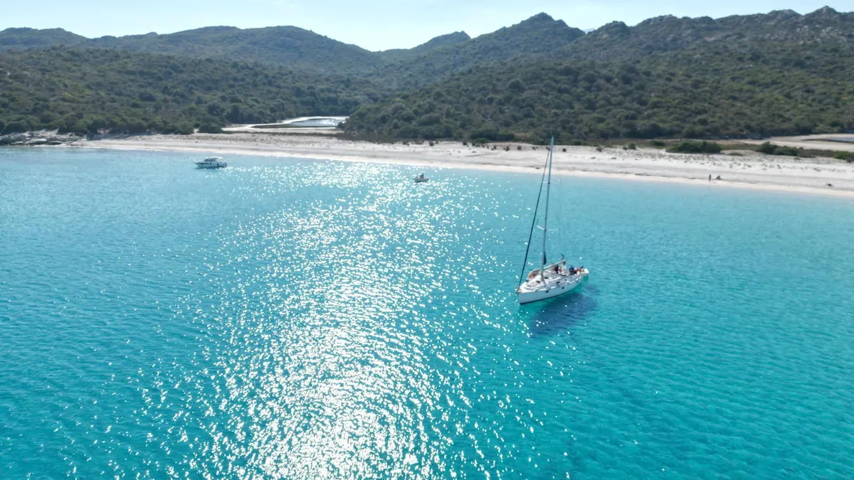
A full kilometre of sand so fine it squeaks underfoot, water shifting through every register of blue — pure turquoise close in, celadon over the seagrass, deep sapphire further out. A low dune and a umbrella-pine forest back the beach, offering shade even at the height of summer for those who want it.
Saleccia is where several scenes of The Longest Day were shot in 1962 — the Agriate stood in on the big screen for the Normandy landing beaches, its whiteness carrying the period film stock better than northern French sand would have.
The beach is large enough to absorb peak-season visitor numbers without ever feeling crowded, even on 15 August: bathers spread between water, sand and pines. A small seasonal bar at the northern end serves Corsican charcuterie platters and salads from June to end of September.
#2 — Ideal for families
Lotu, the accessible little sister
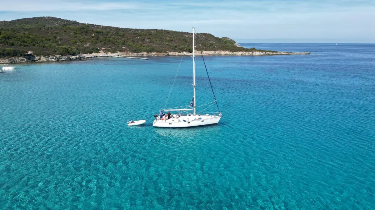
The more intimate sister of Saleccia, reached in just twenty minutes by boat from the port of Saint-Florent. A 350-metre arc of fine sand, with a very gently shelving seabed — no real depth for tens of steps from the shore, which makes it the children’s beach par excellence.
This is often the first beach we show guests discovering the Agriates: short journey, immediate swimming, a well-trodden footpath (3h from Roya) that remains walkable even for casual ramblers. A seasonal beach bar offers a handful of simple dishes from June to September.
Fifteen minutes on foot to the south, the Padulella lagoon welcomes European pond turtles and a discreet colony of purple herons each spring. The rest of the year, Lotu reverts to its wild character — no buildings, no sound, just the lapping water and the scrub behind.
#3 — For solitude seekers
Ghignu, the wild one
The most remote of the three. Less a single beach than a string of four coves of golden sand, separated by rocky promontories carved by winter storms. You can still find the ruins of an old shepherds’ and fishermen’s hamlet here: a handful of paghjaghji restored by the Conservatoire du Littoral now serve as walker’s lodges for hikers along the coastal path.
Access is demanding: 8h30 on foot from Roya, or 45 minutes by boat direct from Saint-Florent. No services, no shade, a single freshwater source that cannot always be relied upon. For lovers of absolute quiet and discreet anchoring. It is one of the very few beaches in Corsica where you can still feel genuinely alone on 20 August.
Wildlife & flora: a unique Mediterranean ecosystem
The Cap Corse and Agriate Marine Nature Park covers 6,830 km² of sea and protects biodiversity exceptional for the western Mediterranean. Underwater as on the shoreline, the richness of the site makes it a European conservation priority, listed within the Natura 2000 network and the Pelagos Sanctuary (a trilateral agreement between France, Italy and Monaco for the protection of marine mammals).
Biodiversity
Underwater: the lungs of the Mediterranean
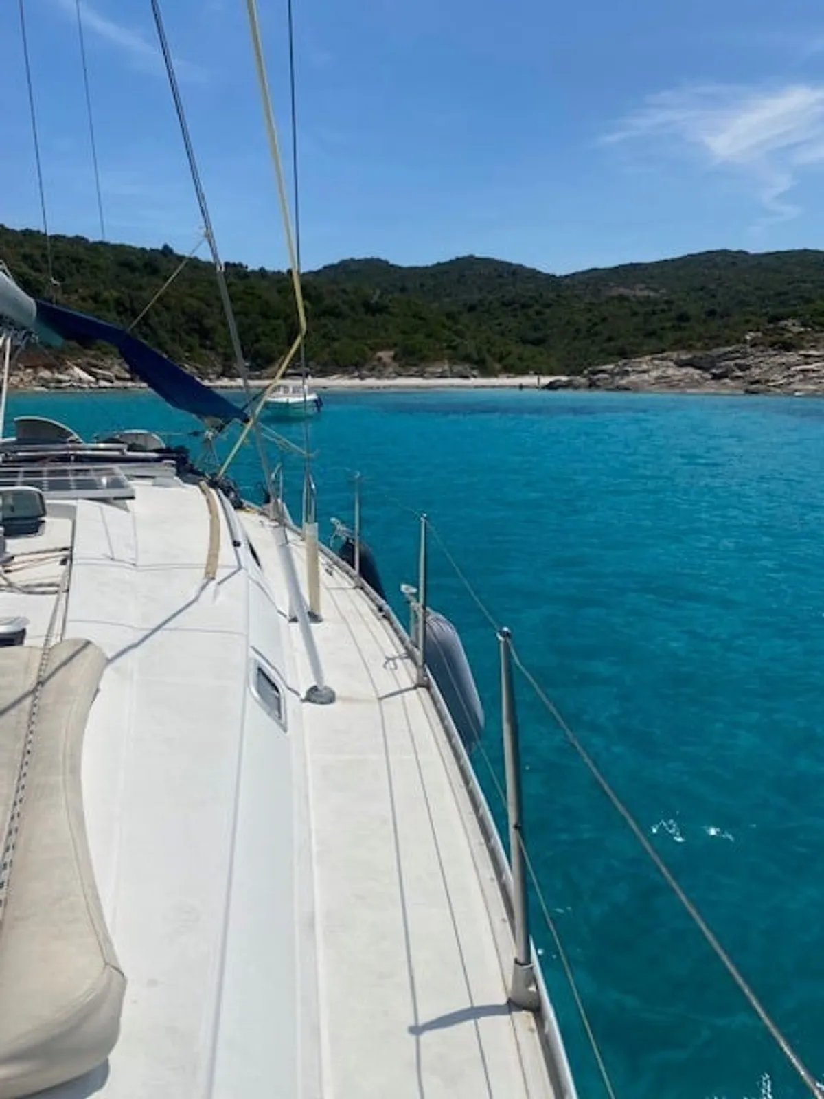
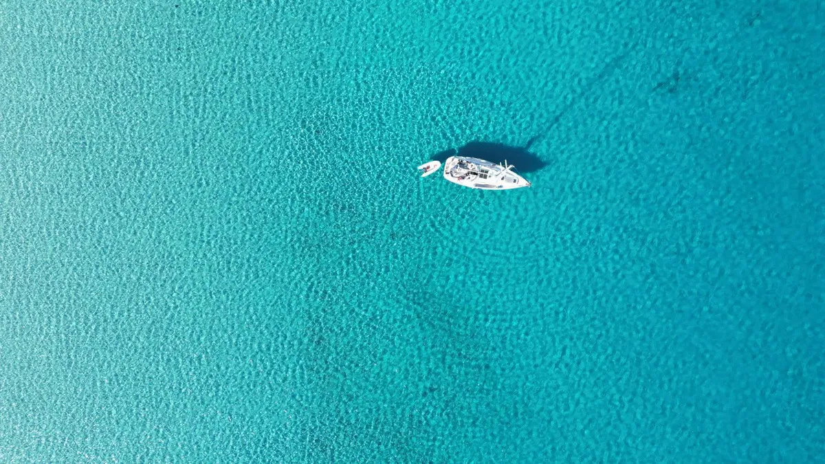
Posidonia (Posidonia oceanica), a flowering plant endemic to the Mediterranean, blankets the seabed down to 40 metres’ depth. It is estimated to produce up to 20% of the oxygen breathed in the Mediterranean and to shelter almost 25% of its marine biodiversity. A simple mask and snorkel from the yacht’s tender are enough to observe dusky groupers, corb, annular sea breams, salema, white breams, rainbow wrasse and — occasionally — a red mullet combing the sandy bottom.
Offshore, common bottlenose dolphins (Tursiops truncatus) are regularly sighted from April to November, particularly on the crossing between the Saint-Florent cape and the Mortella point. Loggerhead turtles (Caretta caretta) — listed as vulnerable by the IUCN — occasionally nest on certain beaches, a rare event documented by the Park’s scientists since 2011.
On the shoreline: an exceptional Mediterranean maquis
The Agriates maquis is dominated by a few signature species whose successive blooming, from April to June, turns the hills into fragrant carpets:
- Montpellier rockrose (Cistus monspeliensis): white flowers, abundant
- Common myrtle (Myrtus communis): blue-black berries edible in autumn
- Italian immortelle (Helichrysum italicum): yellow flowers, harvested for its essential oil, a Corsican specialty
- Mastic (Pistacia lentiscus): aromatic resin
- Strawberry tree (Arbutus unedo): red fruit in autumn, the source of Corsica’s traditional fruit brandy
- Phoenician juniper (Juniperus phoenicea): a coastal shrub resistant to salt
How to reach the Agriates: the three options
The Agriates desert is not served by road beyond the village of Casta. No standard car can drive to Lotu, Saleccia or Ghignu. It is this very isolation that keeps the site intact — and forces a choice among three modes of access.
Access modes compared
Which route should you take to visit the Agriates?
| By boat | On foot | By 4×4 | |
|---|---|---|---|
| Duration | 20 min – 1h | 4h30 – 8h30 | 1h – 2h |
| Departure point | Port of Saint-Florent | Roya beach | Village of Casta |
| Comfort | High | Demanding | Rough |
| Cost | Shuttle: €25–35 · Cruise: €85–180 | Free | €25–40 (shared shuttle) |
| Meal option | On board or beach bars | Beach bars (in season) | Picnic |
| Season | April to October | Year-round (avoid heatwave) | April to October |
| Our recommendation | Best overall experience | Seasoned hikers | If you have a 4×4 |
By boat
- Duration
- 20 min – 1h
- Departure point
- Port of Saint-Florent
- Comfort
- High
- Cost
- Shuttle: €25–35 · Cruise: €85–180
- Meal option
- On board or beach bars
- Season
- April to October
- Our recommendation
- Best overall experience
On foot
- Duration
- 4h30 – 8h30
- Departure point
- Roya beach
- Comfort
- Demanding
- Cost
- Free
- Meal option
- Beach bars (in season)
- Season
- Year-round (avoid heatwave)
- Our recommendation
- Seasoned hikers
By 4×4
- Duration
- 1h – 2h
- Departure point
- Village of Casta
- Comfort
- Rough
- Cost
- €25–40 (shared shuttle)
- Meal option
- Picnic
- Season
- April to October
- Our recommendation
- If you have a 4×4
By boat from Saint-Florent: the complete option
The port of Saint-Florent is the departure point for all boats bound for the Agriates. Two companies run a daily shuttle to Lotu and Saleccia from April to October — fast, affordable, suitable for a half-day. The return is on a fixed schedule, which imposes strict timing.
For a full and immersive day, a sailing cruise such as our Agriates day trip lets you explore the three beaches at your own pace, anchor in secondary coves the shuttles cannot reach (Fiume Santu, Malfalcu), take your time in the water, and enjoy a lunch on board prepared from small-producer ingredients. The 10-guest maximum guarantees an intimate experience, very different from the group shuttles.
On foot along the coastal path
The coastal path (the former customs officers’ easement) starts at Roya beach, west of Saint-Florent, and follows the shore as far as Ghignu and beyond. It makes for a magnificent but demanding walk: no shade, no resupply points, cumulative elevation gain of 600 metres to Saleccia, and stony ground throughout.
Stage 1 — Roya to Lotu: 4h30 on foot, roughly 13 km. The path runs along the coast then drifts slightly inland to skirt cliffs. Carry 2 litres of water per person, a hat, proper hiking boots and a windbreaker. A walker’s lodge is available on arrival at Lotu beach (booking required).
Stage 2 — Lotu to Saleccia: one more hour on foot, 3.5 km. Much easier: the path is flat and hugs the shoreline. Swimming is possible at both ends.
Stage 3 — Saleccia to Ghignu: 3 hours of walking, 8 km — the wildest leg. You pass in front of the ruined Genoese tower of Mortella, with an outstanding panorama. A converted walker’s lodge awaits at Ghignu (restored paghjaghji, bookable via the Conservatoire du Littoral).
The full crossing is ideally done in three days, with a night at Lotu and one at Ghignu, outside the summer heatwave. Absolutely avoid walking between noon and 5 PM in July and August.
See the walking stages in detail
By 4×4 along the Casta track
The unmetalled track starts at the village of Casta, on the D81 towards the Balagne. Around 11 km of bumpy, spectacular driving leads directly to the Saleccia car park (and from there to Lotu via a short footpath). 4×4 rental or shared shuttle in season (morning departures, afternoon returns).
Not advisable in low-clearance vehicles: the track is stony, crosses several fords and deteriorates after every storm. In a standard car, expect real damage to suspension and wings.
When to come: the Agriates month by month
The Agriate is accessible from April to late October in full form (boat, swimming, maquis in bloom). In winter, only hiking remains practical, in a landscape transformed by the ochres of the dry scrub. Here is what awaits you month by month.
12-month calendar
Weather, wind and atmosphere in the Agriates
January
Golden maquis, cold sea, occasional libeccio storms. Superb solitary hiking.
- Mer / air
- 14° / 11°
- Vent
- Libeccio
- Ambiance
- Wild
February
First Corsican narcissi. Low, raking winter light, very photogenic.
- Mer / air
- 13° / 12°
- Vent
- Mistral
- Ambiance
- Silent
March
Rockrose and rosemary coming into flower. Sea still fresh, but ideal walking conditions.
- Mer / air
- 14° / 14°
- Vent
- Variable
- Ambiance
- Awakening
April
Boats reopen. Maquis in full bloom, mild temperatures.
- Mer / air
- 16° / 17°
- Vent
- Variable
- Ambiance
- Emergence
May
Our favourite month: light, flowers, tempered water, few visitors.
- Mer / air
- 18° / 21°
- Vent
- Thermals
- Ambiance
- Paradise
June
Welcoming water, immortelles blooming, longest days of the year.
- Mer / air
- 21° / 25°
- Vent
- Thermals
- Ambiance
- Luminous
July
High season, strong visitor numbers but beaches absorb them. Book early.
- Mer / air
- 24° / 29°
- Vent
- Libeccio
- Ambiance
- Vibrant
August
Peak crowds. Our tip: sail early morning to avoid the numbers.
- Mer / air
- 26° / 30°
- Vent
- Libeccio
- Ambiance
- Saturated
September
Return to calm, water still warm, golden light. The connoisseurs' favourite.
- Mer / air
- 24° / 26°
- Vent
- Variable
- Ambiance
- Golden
October
Last sailing days. Water still at 22°C, minimal visitor numbers. Ideal shoulder season.
- Mer / air
- 21° / 22°
- Vent
- Grec
- Ambiance
- Poetic
November
Shuttles cease. Maquis turning red, wild hiking without anyone.
- Mer / air
- 18° / 18°
- Vent
- Mistral
- Ambiance
- Solitary
December
Sea too cold. Restored paghjaghji close. Walking only.
- Mer / air
- 15° / 14°
- Vent
- Libeccio
- Ambiance
- Wintry
Our advice for discovering the Agriates
Rather than multiplying terrestrial journeys and enduring July–August heat, treat yourself to a full day under sail from Saint-Florent. It is the only way to see all three signature beaches in a single day, to swim away from the crowds, to lunch on board from Corsican produce, and to understand why the Agriate remains — for many — the defining memory of a trip to Northern Corsica. Browse all our sailing cruises in the Agriates and Cap Corse to pick the format that fits your stay.
If you have more time, a full-day Cap Corse — Nonza cruise makes an excellent complement — a different facet of the region: more mineral, more abrupt, marked by Genoese towers, cliff-perched villages and schist rock faces. Pairing the two days — Agriates one day, Cap Corse the next — gives the most complete picture of maritime Northern Corsica.
And if you are travelling with a group, extended family or for a special event (birthday, hen or stag party, corporate retreat, wedding), chartering the yacht lets you write a bespoke full-day programme with personalised menu and free timing.
Frequently asked questions about the Agriates desert
See the FAQ in the frontmatter — rendered by the accordion component on the page.
Further reading
Explore the region with us
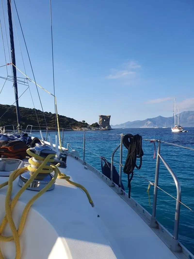
Pillar guide
Gulf of Saint-Florent: complete guide
Village history, the Tower of Mortella, Nonza, Patrimonio wine region and the Cap Corse villages.
Découvrir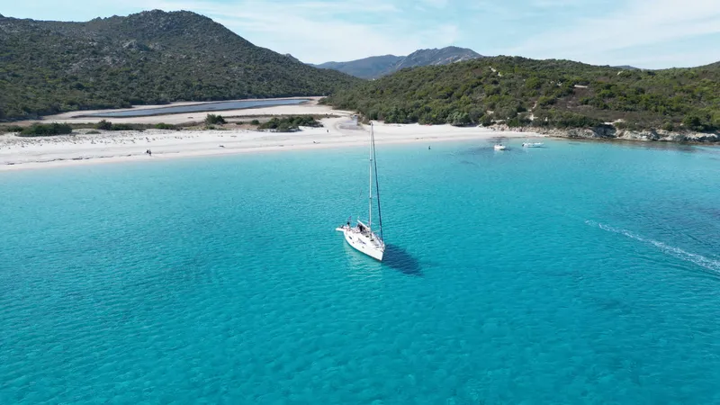
Signature cruise
Our Agriates day cruise under sail
Seven hours under sail, Saleccia, Lotu and Fiume Santu, lunch on board, 10 guests.
Découvrir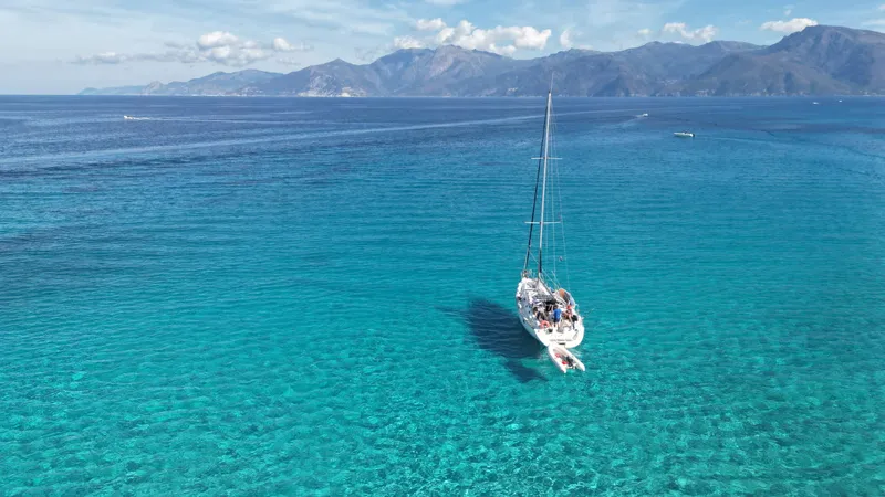
The yacht
Eridu, the yacht that takes you there
Twelve metres of deck, 10 guests, full coastal safety equipment. A yacht built for the day.
DécouvrirGlossary of the Agriates and Northern Corsica sailing
Glossary Key terms to understand the site and the cruise
Key terms to understand the site and the cruise
Geography & nature
- Agriate / Agriates
- From Corsican agriaghju, Latin ager (field). Desert of former cultivated fields between the Gulf of Saint-Florent and the Balagne, 15,000 hectares, partially acquired by the Conservatoire du Littoral since 1979.
- Paghjaghju (plur. paghjaghji)
- Dry-stone hut with corbelled roof, used by shepherds and farmers of the Agriate. About a hundred still stand; some restored ones serve as walker's lodges.
- Maquis
- Dense Mediterranean vegetation of rockrose, myrtle, lentisk, strawberry tree, rosemary and immortelle. Can reach 3 metres in height; its distinctive fragrance carries for several kilometres at sea.
- Posidonia
- Posidonia oceanica, a flowering seagrass endemic to the Mediterranean. Produces up to 20% of Mediterranean oxygen; some clones are over 100,000 years old. Protected under the EU Habitats Directive.
- Balagne
- An agricultural micro-region of Northern Corsica west of the Agriates, renowned for its AOP olive oil, hill villages (Pigna, Sant'Antonino) and charcuterie.
Protection
- Conservatoire du Littoral
- French public agency founded in 1975, acquiring threatened coastlines to permanently remove them from development. Owns 5,270 hectares on the Agriates since 1989.
- Marine Nature Park (PNMCCA)
- Cap Corse and Agriate Marine Nature Park, France's 9th such park, created on 15 July 2016, covering 6,830 km² of sea. Protects marine mammals, seagrass meadows and fish nursery zones.
- Pelagos Sanctuary
- An 87,500 km² marine zone jointly managed by France, Italy and Monaco for the protection of marine mammals (dolphins, fin whales, sperm whales). Northern Corsica is fully included.
Sailing
- Libeccio
- The dominant south-westerly wind in Corsica. Hot and dry in summer; can raise a choppy sea rapidly in the gulf. Paradoxically responsible for the finest sunsets along the west coast of the Cap Corse.
- Mistral
- North-westerly wind, cold and dry, often strong. Clears the sky to outstanding visibility, but can make the gulf uncomfortable — certain sailings are postponed.
- Grec
- North-easterly wind, rarer, occasionally raising a long swell that makes anchoring uncomfortable on the eastern face of the Agriate.
- Offshore anchoring
- Anchoring in open water, not sheltered by a port. In the Agriates it is done exclusively on ecological mooring buoys to protect the posidonia meadows. Anchors are prohibited in the protection zone.
- Coastal sailing
- Short-distance navigation close to the coastline. Our day cruises are coastal by definition — the yacht remains within one nautical mile of shore.
- Close-hauled / reach / running
- The yacht's points of sail relative to the wind. Close-hauled means sailing as close as possible into the wind. Reaching, the wind comes from the side. Running, it pushes from behind.
Gastronomy
- AOP Patrimonio
- The first Corsican wine Protected Designation of Origin (1968), produced on the schist hillsides above the Gulf of Saint-Florent. Three grape varieties: niellucciu (red), vermentinu (white), muscat petits grains (muscatellu, naturally sweet).
- Brocciu
- Fresh Corsican AOP cheese made from sheep or goat milk, produced from November to June. The base of most traditional desserts: fiadone, imbrucciata, ambrucciata.
- Figatellu
- Corsican pork liver sausage, eaten grilled over embers in winter. A speciality of the inland villages, rare on the coast in summer.
Frequently asked questions
Three main options. By boat (the easiest and most comfortable): daily shuttles in season to Lotu (20 min) and Saleccia (30 min), or a full-day sailing cruise to explore all three beaches at a relaxed pace. On foot: the coastal path starts at Roya beach and reaches Lotu in 4h30, Saleccia in 5h30, Ghignu in 8h30. By 4×4: along the rough track from the village of Casta, roughly 1 hour of bumpy driving.
Saleccia is the larger sister: 1.1 km of fine white sand, a pine forest backing the beach, reached in 30 minutes by boat from Saint-Florent. Lotu is more intimate: 350 metres of sandy arc, very gently shelving seabed ideal for families with young children, just 20 minutes by boat. Saleccia offers more space and shade; Lotu offers more calm and immediately turquoise water.
The sea is comfortable from mid-May to mid-October. The warmest months are July and August, with water between 24°C and 27°C. In April, May, September and October, the water sits between 18°C and 22°C — brisk but swimmable. In winter the temperature drops to 13-15°C and swimming becomes reserved for the most committed.
No. The Agriate has been classified as the Cap Corse and Agriate Marine Nature Park since July 2016 — a distinct status from a national park. The Conservatoire du Littoral has also protected its 40 kilometres of coastline since 1989. Together these designations heavily restrict construction and regulate anchoring, fishing and diving.
Wild camping is strictly forbidden within the protected perimeter. Walker's lodges exist along the coastal path, most notably at Ghignu, for hikers splitting the crossing over several days. The only legal option to spend a night by the water is anchoring a boat on one of the ecological mooring buoys in the designated zones of the Marine Park.
Only Saleccia and Lotu have a seasonal beach bar (paillote), open from June to end of September, serving simple dishes built around Corsican produce. Ghignu, Fiume Santu and the secondary coves offer no services whatsoever: bring a picnic or book a cruise with lunch on board.
Mid-May to mid-June and mid-September to mid-October are the ideal windows: softer light, temperatures around 23-26°C, maquis in bloom or autumn colours, and moderate visitor numbers. July and August remain spectacular but heat (up to 35°C) and crowds mean you need to book well in advance.
It is the most complete way to discover them: all three beaches in a single day, anchoring in coves that shuttles cannot reach (Fiume Santu, Malfalcu), swimming away from the crowds, a lunch on board and the silence of sail rather than engine noise. Our 10-guest maximum preserves the intimacy of the place.
Yes. Common bottlenose dolphins (Tursiops truncatus) are regularly observed offshore between April and November, especially on the crossing between the Saint-Florent cape and the coast. Loggerhead turtles (Caretta caretta), much rarer, occasionally nest on certain beaches of the site.
The name comes from Corsican and refers to agriculture: ‘Agriate’ literally means ‘the cultivated fields’ — a paradoxical label today. The word ‘desert’ reflects the 20th-century abandonment of farming, the absence of roads and villages, and the sparse human presence, not sand dunes: the Agriate is in fact dense Mediterranean scrub.